 |
Gibraltar: Strait of Gibraltar |
Album Overview
Photo Index
  |
|
More photos in the vicinity: Africa seen from Punta del Canero Ceuta and the Strait of Gibraltar Africa seen from Punta del Canero |
On a net basis, water continually flows eastward into and through the Strait of Gibraltar, due to an evaporation rate within the Mediterranean basin higher than the combined inflow of all the rivers that empty into it. |
|
|
Date: Aug 17, 2006 Longitude: -5° 25.74' Latitude: 36° 4.57'  
Show Photo Position in Google Maps |
||
 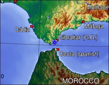 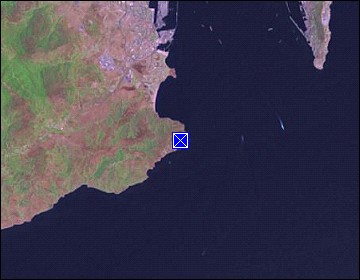 Map references: left: courtesy CIA, middle: generated by GMT, right: courtesy NASA. This page has been updated on: 2007-Nov-08 |
||