 |
Tenerife: Garachico |
Album Overview
Photo Index
  |
|
More photos in the vicinity: Garachico Seen from Above Garachico Church of Garachico |
Garachico which was a rich city and an important harbour in the 16th and 17th century has been destroyed by an volcanic eruption in 1706. Later it has been rebuilt on the new land created by the lava flowing into the sea. |
|
|
Date: Feb 06, 2004 Longitude: -16° 46.25' Latitude: 28° 21.95'  
Show Photo Position in Google Maps |
||
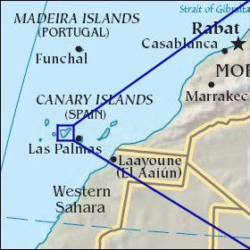 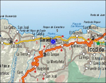  Map references: left: courtesy CIA, middle: courtesy Cicar, right: courtesy NASA. This page has been updated on: 2007-Nov-08 |
||