 |
Hawaii/Kauai: Napali Coast, Valley |
Album Overview
Photo Index
  |
|
More photos in the vicinity: South West Napali Coast Walk to the Rim of the Canyon Hunting Hut at Waimea Canyon |
The valleys of the Napali Coast are watered by the precipitation in the central range that runs down the mountains back into the sea. These fertile beaches where once populated by many native Kauaian tribes. |
|
|
Date: Dec 07, 2006 Longitude: -159° 38.74' Latitude: 22° 9.07'  
Show Photo Position in Google Maps |
||
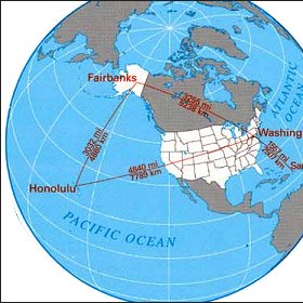 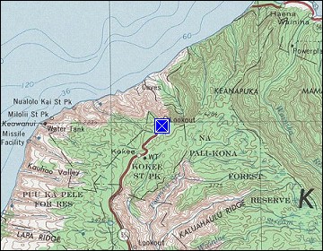  Map references: left: courtesy CIA, middle: courtesy US LoC Map Collection, right: courtesy NASA. This page has been updated on: 2011-Jul-28 |
||