 |
Hawaii/Kauai: Walk to the Rim of the Canyon |
Album Overview
Photo Index
  |
|
More photos in the vicinity: Hunting Hut at Waimea Canyon Creek and Waterfall at the Waimea Canyon Red soil at the rim of Waimea Canyon |
If you have the time use it to hike on several short trails from the highway to the rim of the canyon. Most of the trails run through rain forrests. A rare opportunity to explore tropical forrests without poisonous snakes and large predatores. |
|
|
Date: Dec 07, 2006 Longitude: -159° 39.22' Latitude: 22° 7.58'  
Show Photo Position in Google Maps |
||
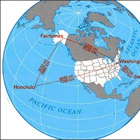
   Map references: left: courtesy CIA, middle: courtesy US LoC Map Collection, right: courtesy NASA. This page has been updated on: 2011-Jul-28 |
||