 |
Kruger Park: N'waswitsontso River |
Album Overview
Photo Index
  |
|
More photos in the vicinity: Road Northeast of Tshokwane Sabie River Sand River |
 |
|
|
Date: Jul 17, 2007 Longitude: 31° 53.86' Latitude: -24° 47.52'  
Show Photo Position in Google Maps |
||
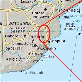 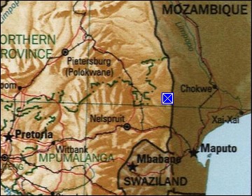 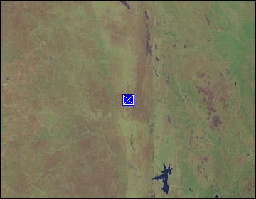 Map references: left: courtesy CIA, middle: courtesy US LoC Map Collection, right: courtesy NASA. This page has been updated on: 2008-Mar-26 |
||